8/26/2022 FRIDAY
52 degrees this morning at 7:00. We have a quick breakfast and head northwest, passing by Eagle’s Nest Lake and Red River Ski Area. Beautiful rocky formations and heavenly scented pines. Gas is a bit higher here - $4.19-$4.49 and several stations require payment inside before filling up. It was just under $4 at home.
Along 522N, we have seen a few signs for Rio Grande Del Norte National Monument, so when we come to the turn-off we decide to go check it out. We pass through a tiny town called Cerro which seems largely hispanic.
The sign said 3 miles to the Monument, but at 3 miles there is this sign. The actual monument is huge, with the visitor’s center another 7-10 miles of dirt road
.
First stop is Sheep Crossing Overlook at 7,538’ elevation. Wow! It is a beautiful canyon with the Rio Grande River at the bottom.
Then there is Chawalagna Overlook.
The Monument was created in 2013, but before that there was Rio Grande Gorge State Park -a 2-mile wide strip on both sides of the river for 73 miles. The rift that caused this geology is still active and small earthquakes are common.
Within the monument is the Wild Rivers Visitor Center which focuses on the joining of the Red River and the Rio Grande, which in this area are wild rivers - no dams or controls. We drive to La Junta Point where you can see both rivers. La Junta means meeting or joining. To the left is the Red River, right is the Rio Grande. This is the deepest part of the Rio Grande gorge - 3/4 of a mile wide and 800' deep.
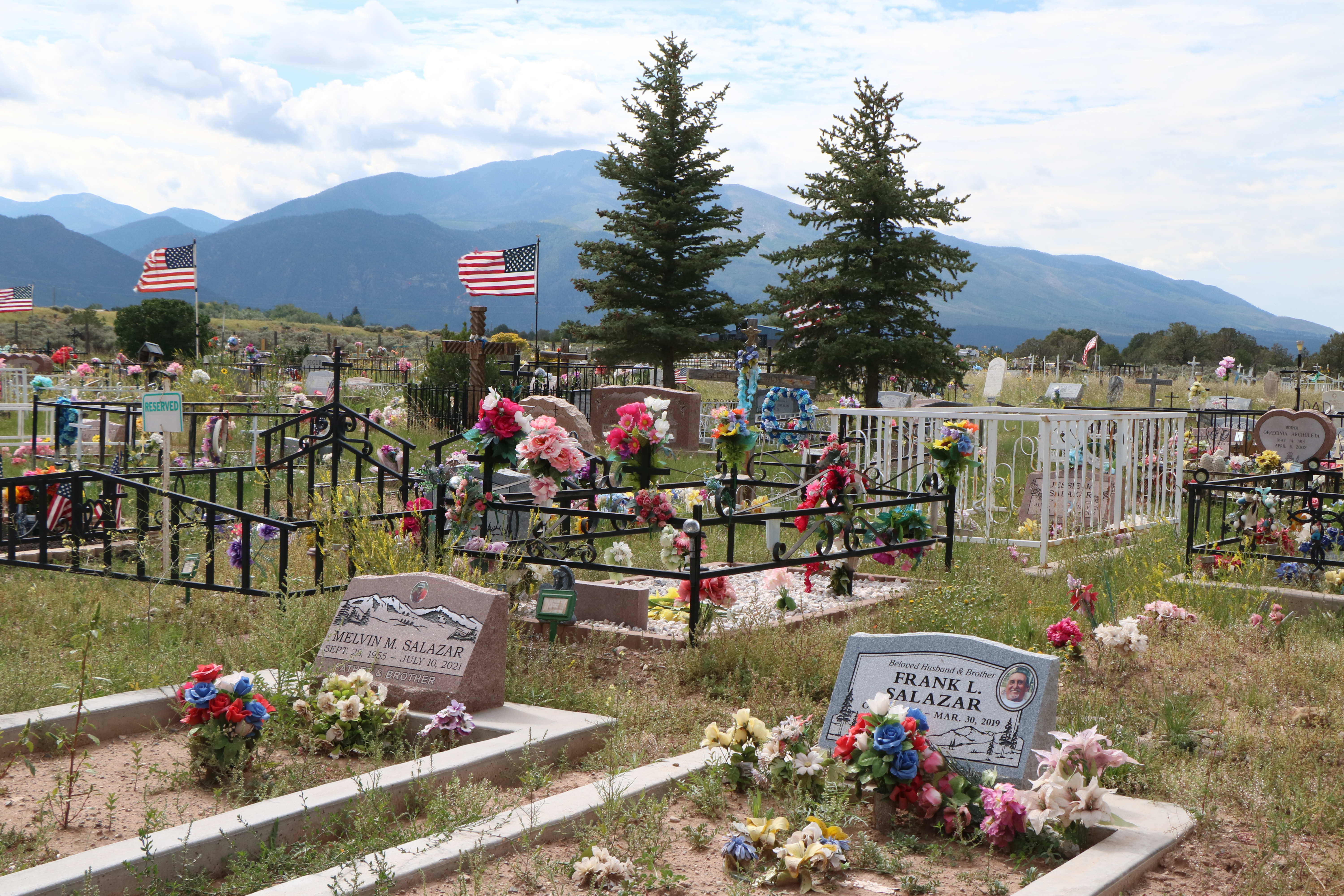
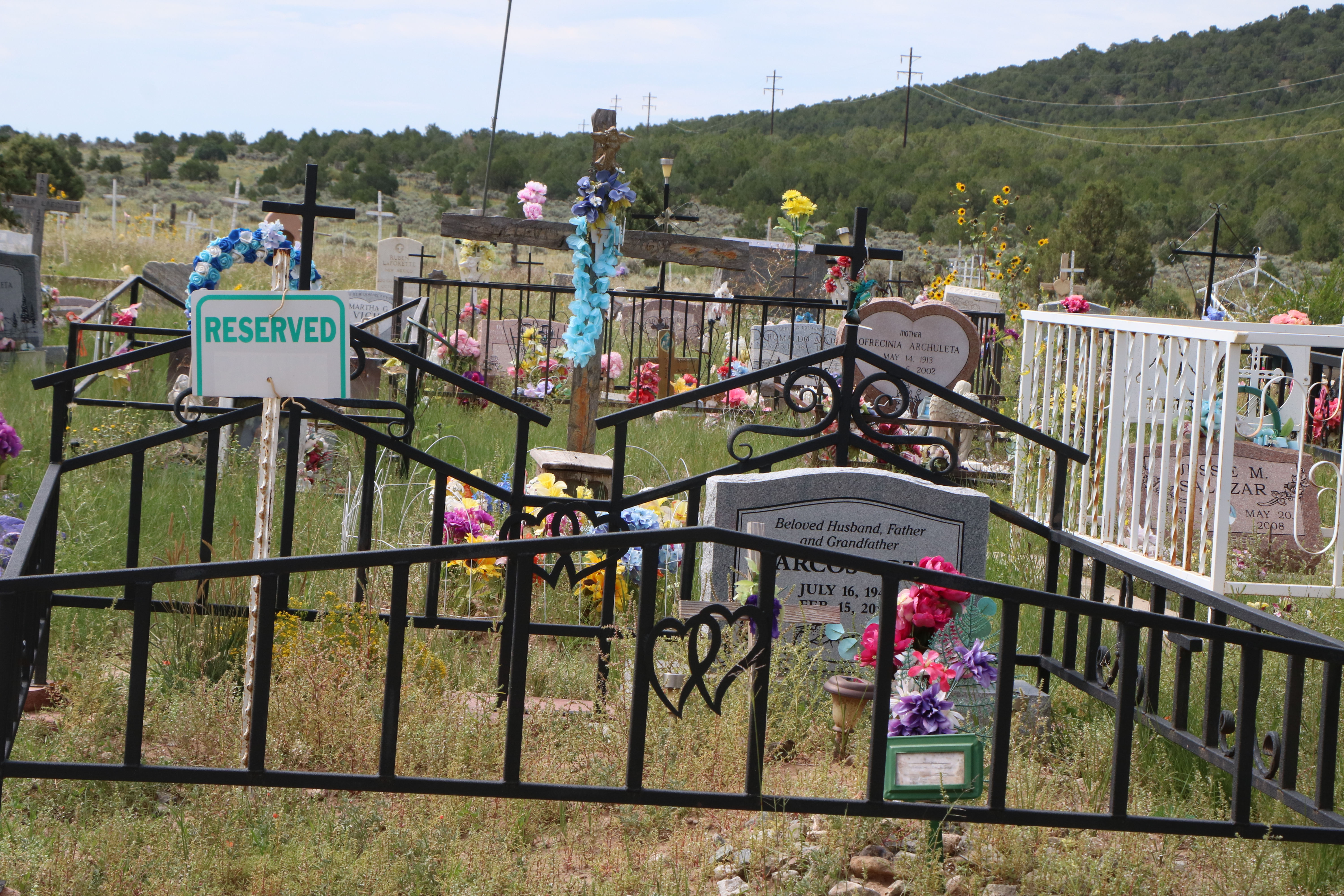
We stop at the Cerro Community Cemetery on the way back to 522. It is across the street from the Nuestra Senora de Guadalupe Church (not open). The cemetery is quite colorful with flags, photos and many flowers. We thought the “reserved” signs were rather unique!
Great Sand Dunes National Park is our next destination in Colorado. We’ve been here before but thought we’d stop by. Last time the Medano Creek which runs in front of the dunes was non-existant; totally dry. This time there are several shallow branches of the stream we need to cross to get to the dunes.
Those little dots are people. There are quite a few folks, but spread out nicely.
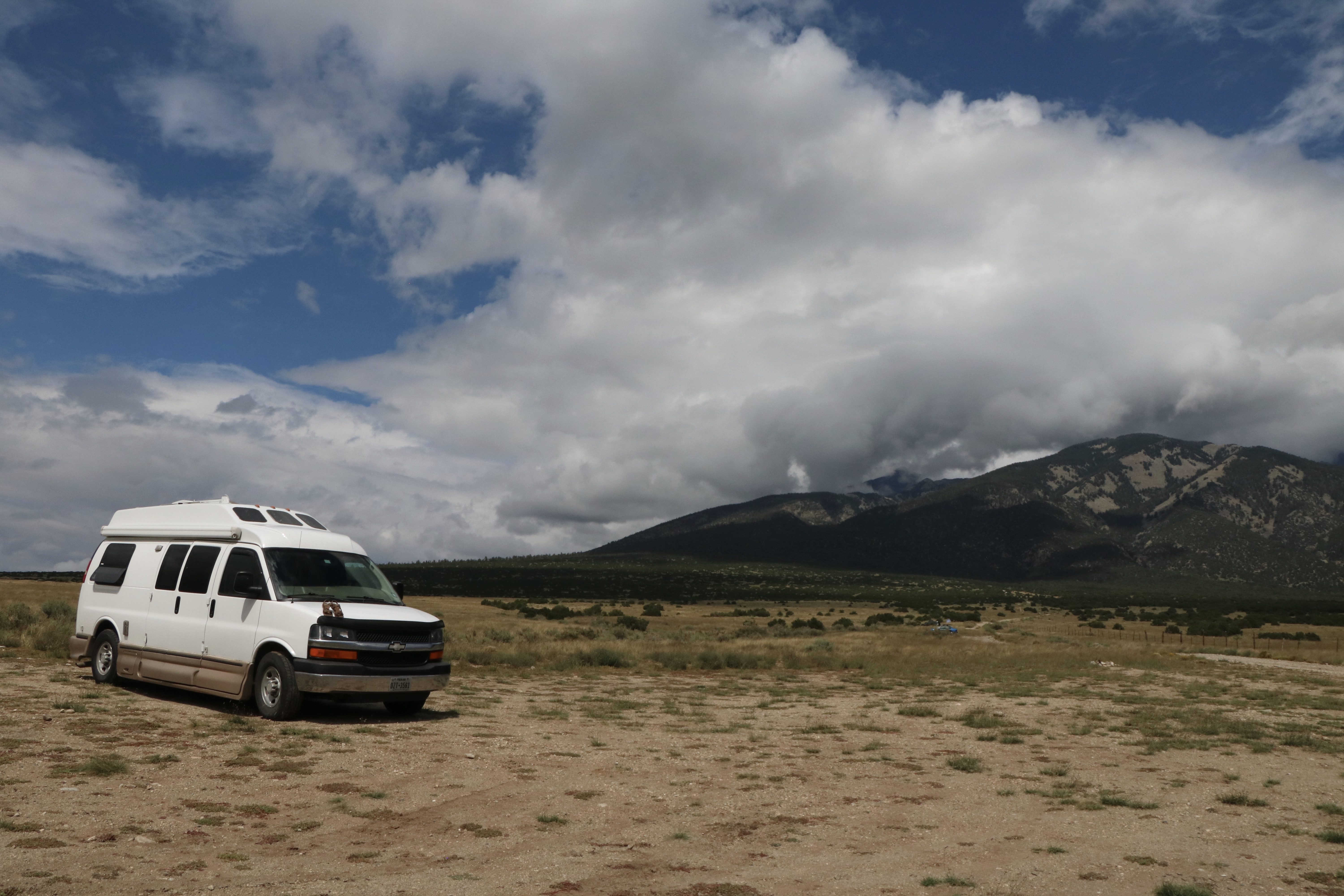
The campground here is filled, as is the Zapata Falls one (now requires reservations), so we backtrack a bit to some BLM land called Mt. Blanca where there are many sites along some dirt roads in the shadow of Mt. Blanca. There are designated camping spots which are scattered about. We claim one just before the rough dirt road heads into the mountains and settle down. A fire ring is the only sign that people camp here. Great to see no litter!

There is a dry wash nearby that has a lot of rocks, so we walk and collect a few. The clouds have been building and hugging the mountains.
We have a light rain and some lightning in the distance. People continue to arrive so there is a variety of campers, cars, trucks, tents by the time darkness falls. A tenter joins us in the rather large clearing we've occupied. In the morning there is another car nearby with a young man sleeping in a sleeping bag next to it!


No comments:
Post a Comment