Rose early this morning and went back to Multnomah Falls
which, yesterday, was absolutely crawling with tourists. Not so this morning as we arrive before 7:00
and the only folks there were a few photographers. Pretty two-tiered falls with a bridge between
the two, 2nd highest year-round falls in the US at 620’. We hiked up to the bridge. Cold and windy in the 40’s.


We continued out the gorge, stopping at Mitchell Point
Overlook and then drove to The Dalles.
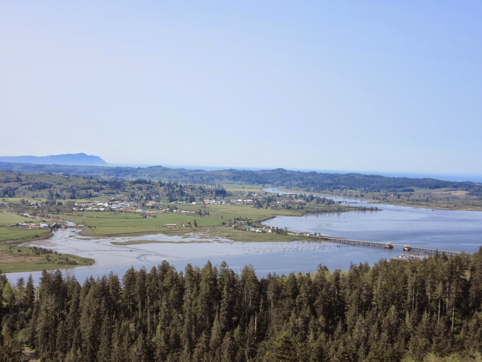
Interesting geography of stepped cliffs and lots of green. We crossed the 197 bridge to the Washington
side and started back. Similar scenery, smaller road, less traffic. Saw some logs floating in the river and
several mills with stacks of logs, stacks of lumber, piles of sawdust.
Klickitat Port.


Trains run parallel to the river on both sides and seemed
pretty busy. We imagine they come from
the port at the mouth of the Columbia and speculate on the things they might be
carrying from overseas….fruits, fish, “stuff” from China, etc.
At White Salmon we cross the Hood River Bridge, $1 toll,
back to Oregon to explore a little of the Mount Hood area. This snow-covered mountain dominates the
landscape for many miles. Normally
popular for skiing, it has been a dismal year for snowfall and we are told
there shouldn’t be any road problems.
First we travel along the “Fruit Loop” which includes acres
and acres of orchards. Apples, pears, peaches, cherries. Some trees are in bloom and beautiful! Periodically there are huge stacks of crates
which will get a workout this Summer.

 We stop at one of several orchard stores – Packer Orchard –
and purchase a marionberry rhubarb empanada and a jar of jam. The clerk there is most helpful and gives us
a map and some suggestions of pretty areas.
This is obviously a lot of work, as we see crews trimming trees and
notice lots of irrigation and heating equipment in the orchards.
We stop at one of several orchard stores – Packer Orchard –
and purchase a marionberry rhubarb empanada and a jar of jam. The clerk there is most helpful and gives us
a map and some suggestions of pretty areas.
This is obviously a lot of work, as we see crews trimming trees and
notice lots of irrigation and heating equipment in the orchards.

At the town of Dee we take a road to what Fodor’s calls an
“Off the Beaten Path” place called Lost Lake which is supposed to be great for
photography. Well, we do agree it is
off the beaten path as we wind progressively more narrow roads back towards Mt.
Hood. What we arrive at is a beautiful lake with a busy and well-established
“resort”. There is a little snow on a
few roads but it is more like slush.

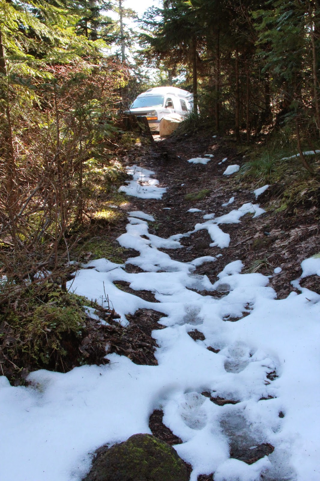


Lots of folks with their dogs and kids. We are in Bigfoot/Saskwatch territory (see above). We walk around several areas and then head
back to the beaten path, more orchards, back across the Hood River Bridge and
onward to a town called Longview.
Longview is a very pretty town, lots of greenways and
flowering trees and shrubs everywhere. The
houses aren’t huge, but all seem neat
and nicely landscaped.
We find a Lowe’s and settle in to use their wi-fi for a
bit. Then go to a local-recommended
restaurant called The Masthead for a nice dinner. Then on to Walmart for the night.


Next stop is Fort Clatsop, the Winter home of 33 men and one woman (- whose name I know you all know and I forget how to spell - Sacagawea?)of Lewis and Clark's Voyage of Discovery. They left here in March 1806 to head back to St. Louis. Nice visitor center where we watched a film about the Expedition, then toured a replica of the fort and the area.


We stop at a few other related sites - Middle Village, Station Camp and read some more history.
Then we head north, back into Washington and stop at the World Kite Museum in Long Beach, Washington. Nice displays including kites from around the world, some quite large, as well as kites that were used in WWII for collecting meteorological data, lifting radar equipment, blocking areas above ships from straffing, etc. Who knew.

 |
| This was used to hold communication equipment. Kind of like a very early satellite - on a string! |


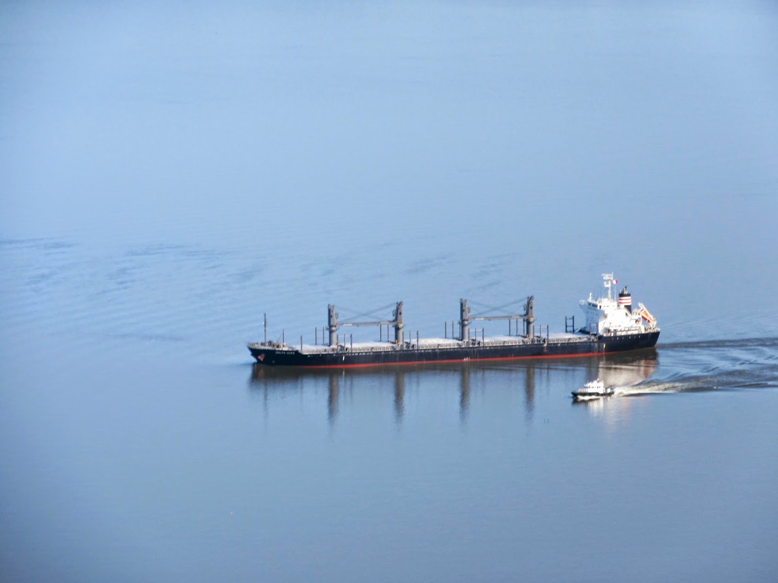
We pass this boat which is unloading oysters and stop to watch a bit. There are a few folks there buying them right off the boat.


No comments:
Post a Comment