Saturday, October 3
38 degrees this morning, so coffee and hot chocolate are first priority! We head out early and stop for a few photos of the fog coming off the water. This was at Avery Creek Boat Access area.


Dry Falls is anything but! The smallish parking area is full so we have to wait a few minutes for a parking spot! $3 usage fee but the bin to deposit the fee is so full it is just as easy to remove money as deposit it. Most everyone is wearing masks and being aware of spacing. The Falls are beautiful and there is a nice trail which winds behind the falling water. If you look closely at the second and third photos you can see some people.


A few miles further down the road is Bridal Falls. Less spectacular, but still pretty. The old road used to go behind the falls, but it is closed now.

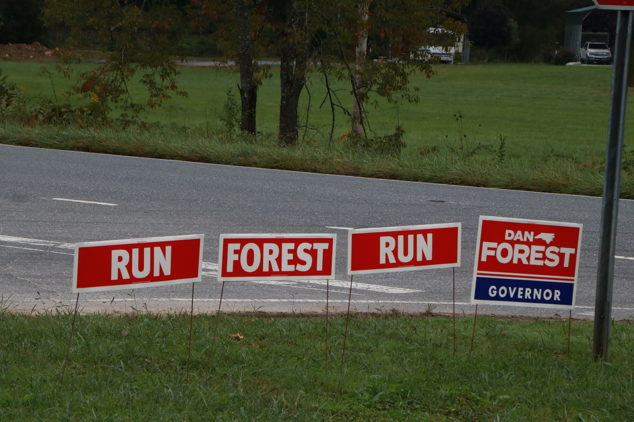
We are traveling through mainly rural areas, farms and small towns amid the forests. Lots of Trump signs and we got a kick out of the signs for a man named Dan Forest who is running for governor….shades of Forest Gump!
On our way to Whitewater Falls we dip into South Carolina for about two minutes, then back to North. Duke Energy is very big in this area and we take a little side detour to a Duke Energy Scenic Overlook.

Whitewater Falls is one of the largest in the US east of the Mississippi. It falls 411 feet. We hike down to the Lower Falls Observation area, including 154 stairs, and follow the Foothill trail. This one is a beauty!


I love how as you walk along you begin to hear the Falls long before you see them.


No idea what this pretty blossom along the trail is called. Anyone know?
Thinking of where we’ll stay tonight, we try two nearby State Parks (by phone) but both are filled. So, we take a road that appears (on the map) to go into a national forest, thinking we could do dispersed camping there. Lots of private property instead, but we finally come to Wolf Creek Lake Boat Access area, just past a dam. Looks good to us! The parking area is kind of tucked into a wooded area so though we are fairly close to the road we aren't really visible from the road.


No comments:
Post a Comment