32 degrees this morning! No, we're not in Texas anymore!
We make our way back to pavement and continue on 149 toward Creede. We stop just before town at Landfill Road to do a little more rockhounding in a nearby ravine. Lots of shale-like rock and a few interesting finds. Amidst all the rock, dust and dry scrub brush, are a few beautiful flowers! Barely any stems or leaves but beautiful pure white flowers about 3" across. Lovely.

We move to another ravine where we encounter a man and his dog, Blue. There is a nearby shooting range (just a few target posts with an embankment 30' or so behind them) and this man is digging bullets out of the embankment. He owns several guns, he says, and makes his own ammunition using the spent bullets. Blue greets me carrying what amounts to a small log! (Sorry I didn't get a pic of Blue - he was a large, blue-gray hound of some sort.) I convince him to give it up and fetch a smaller branch which I throw for him a few times. The man is local and tells us of several artifacts (arrowheads, tomahawk head, etc.) found in the area.


We continue into the town of Creede and look for a drive called the Bachelor Loop which explores the history of the area, which largely involved mining. The road begins at the Creede Cemetery and a small church which has many graves from the early 1900's, most of which have simple markers. The boom in mining silver and gold began in the1880's. This was quite a rough and tumble place back then!

We pass the remains of various mines (not accessible) and the site of a town called Bachelor City which had a population of 1200 people in the late 1890's. A few stacks of wood here and there are the only remnants.

The road is rough dirt, gravel and rock and we pass only an ATV and 4 wheel drive jeeps. There are occasional private homes.

 .
.This hawk was keeping watch over the road
On the eastern side of the loop, heading back towards town, we come to the most interesting sites which are accessible. Amethyst Mine is very picturesque. There are other buildings and mines nearby, followed by a deep canyon with a small but raging stream.


Perhaps we should have done the loop counterclockwise, as this sign was facing the other way, but we'd read that it was easier on vehicles to do it clockwise.
Again, in the midst of so much rock, dust and dirt, cheerful flowers manage to make their presence known!

Leaving Creede, the next stop is North Clear Creek Falls - a beautiful falls formed by an old volcanic eruption. The clouds have moved in, along with a little bit of thunder and rain, but it only lasts a short time. A dozen or so other people here, most wearing masks. Isn't it beautiful!


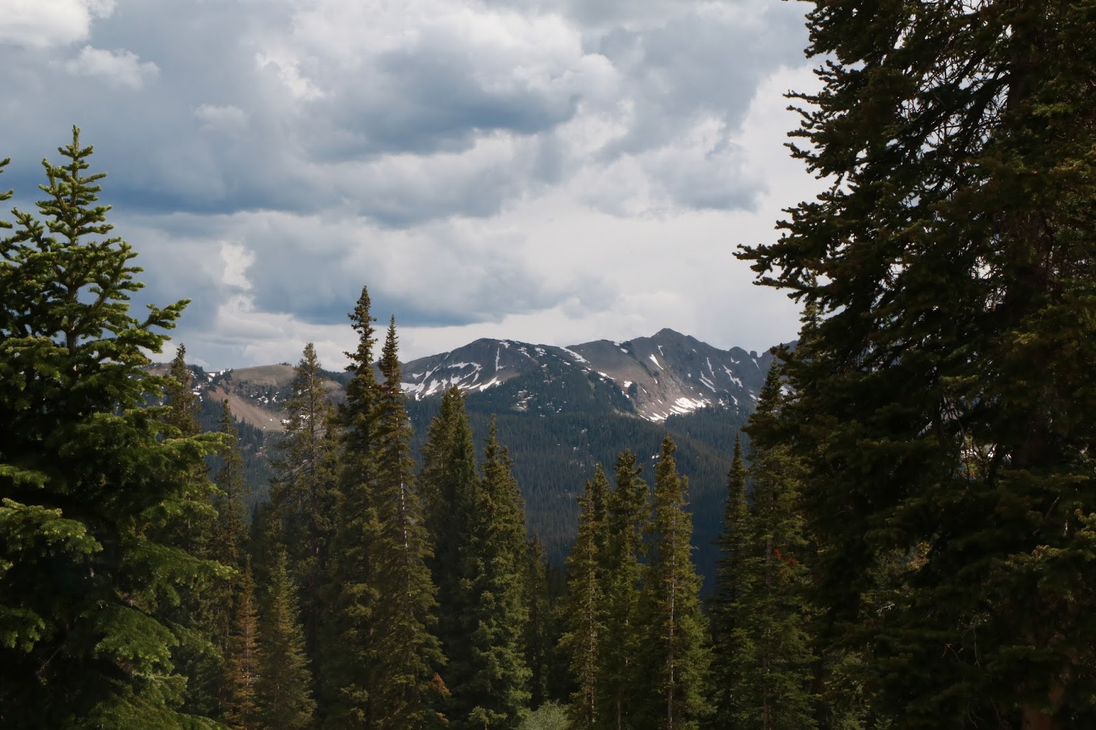
We move into the San Juan mountains next, with this view from Windy Point Overlook at 11,000 ft, within the Uncompahgre Wilderness. The US has over 109 million acres of designated Wilderness areas which are accessible only by foot, I believe, and are a refuge for threatened and endangered species forced to the edges by modern development. As President Johnson said, when the Wilderness Act was passed in 1964, "If future generations are to remember us with gratitude rather than contempt, we must leave them a glimpse of the world as it was in the beginning, not just after we got through with it." Hopefully, President Trump will not undo this act, though he is trying.

Lake San Cristobal, just south of Lake City is a large and popular recreation area. Pretty even under cloud cover, I'll bet it is gorgeous in the sun.

About two hours later, we reach the ski town of Crested Butte. It is mobbed with some sort of Art Walk going on! Lots of people and the only masks we see were worn by waiters serving food and drinks in makeshift sidewalk cafes. Probably an interesting town at another time, with lots of shops, restaurants and galleries; but today we inch through in the heavy traffic and continue on to Kebler Pass.

Ready to call it a day, we take a turn for the first National Forest Campground we come to - Lake Irwin Campground. We stop to ask the camp host about possible sites and he says we are in luck, as he has one unoccupied site, #20.


These delicate yellow flowers flourish at one end of the lake.(Glacier lillies)

The clouds are constantly moving and in late afternoon the wind stops and the lake becomes a perfect mirror for the surrounding landscape.


Closer to sunset the lighting shows those silver linings of clouds.


Greg gets a nice campfire going for a quiet, beautiful ending to the day. Clouds have again moved in, so not a terrific night sky, but no rain till we are tucked away.

No comments:
Post a Comment