Search This Blog

Thursday, July 30, 2020

July 15-16 Back to Texas/ Home

July 15, 2020

48 degrees this morning as we begin the long trek back to home.  Greg bids this deer a cheery "Good Morning"  just outside the campground.  She didn't seem impressed.

 Still some pretty scenery here in Colorado as we make our way over to the major freeway, 25 S.  We see an occasional deer including several whose racks are pretty impressive.


We have seen many prairie dogs on this trip,  usually as they are making a mad dash across the road ahead of us.  We stop here on 69S to take a closer look.  Lots of mounds but when we stop, we hear that chirping sound and by the time I get out of the Trek they have vanished under ground.  I stand and wait for a while and can see them further down the road, but anyone near has vanished.  Except for this one little guy whose curiosity got the best of him.


They were so skittish, we wondered whether they are used to being used for target practice.


Of course I notice this one beautiful flower, a thistle with bluish foliage that produces a beautiful pure white flower here amidst the dirt and rock.

We see a sign that we've never seen before - Eagles on Road. ?  Maybe because of the multitude of prairie dogs there is a lot of roadkill and eagles are great scavengers...?  Our best guess.  We see neither roadkill nor eagles.


We pass an area of Amish farms (with a Yoder's furniture store, Mom), and the familiar road sign indicating buggy use.


 And a huge bison farm, though no animals are in sight.

And we are surprised by a herd of elk as we near I-25.  Most of them melted into the trees, but these few were checking us out.

At Walsenburg we catch 25S and go over Raton Pass and into a corner of New Mexico, before veering off through the Texas panhandle and down to Amarillo.  Another time change - back to Central time.

We stay at Radisson's Country Inn & Suites again and are pleased with the masks, sanitation and all.  It is much busier today than 3 weeks ago and rates have risen accordingly.  Long luxurious shower and we briefly flip on the TV.  Back to civilization. We opt for a repeat of Jimmy John's although there are several restaurants in the area.  I am dreaming of a great meal, but Greg suggests home would be the best place for that.


Thursday, July 16

There were some loud thunderstorms last night, but this morning is clear and 66 degrees as we head out for what will surely be a 90s day.   One thing that is LOWER, though, is gas prices as we are back to $1.69 or so a gallon.

The outside temperature reading on the Trek says 96 degrees when we stop later in the day for the last fill up.   Greg is shocked that he actually passed two vehicles today, and no, they weren't broken down.  We cruise at 63 mph even though the limits are 70 and some places 80.  Gas mileage drops drastically above that.

Three weeks and not one Walmart - yeah!  We barely even saw any.

Just FYI, we spent an average of $3.60 a night on camping.  If you add the 3 nights in hotels, that gets boosted to 16.60 a night.  Gas is another storyπŸ˜πŸ˜›πŸ˜!

We arrive home around 5:00 and all is well.  Chinese take-out from our favorite spot will do till we can re-stock.

Thanks for traveling with us!

Wednesday, July 29, 2020

JULY 14, 2020 Heading South. Wyoming, Colorado

Tuesday, July 14

45 degrees on this overcast morning.  Breakfast and then we backtrack out of the mountains and continue south through sagebrush and rolling hills into Colorado.   It seems we have seen thousands of acres of sagebrush, but there are some who are bemoaning its decline.  It is an entire ecosystem which, like others, is disappearing.  It wasn't until the 1980's that it's value began to be recognized and more efforts are being made to conserve and restore large areas.  It is estimated that over 350 plants and animal species are endangered because of its conversion to agriculture, fires, and invasion of exotic non-native plants and human habitat.

  Then we return to mountains.  On highway 125 we comment as to how nice this area would be for a Summer home.  There are some beautiful homes whose owners thought the same thing, and others that look like they have been here for a very long time.

A lot of young trees in this area where the Pine Bark Beetle was absolutely devastating in past years. Some areas are being taken over by aspen.  

As we approach Granby, we decide to make a quick visit to Rocky Mountain National Park since we are very close to its western entrance.  But, when we turn to go that way we begin to see signs that say you have to register for a time to be able to enter the park.  Oh well....  we about face and continue south instead.

We are getting too close to Denver and there is lots of traffic.  Combined with a lot of road construction, it is slow going.  Greg comments that he thinks all of Colorado's highway department workers are out over the next 60 miles or so.  We take a few other roads 70W to 9S to try to get away from them and things do improve, particularly after we get past Breckenridge.  It seems huge after the small towns we've been seeing, with dozens of restaurants, shops, gas stations, galleries, etc.  It is next to a big lake - and bigger mountains of course.


On 9S we spot this moose munching away in the water.


We stop at Collegiate Peaks overlook which is a bit cloudy.  This is a view from one mountaintop to another.


 This is a section of the Sawatch Range of the Rocky Mountains which contains some of the highest mountains in the Rockies, including Mount Harvard 14,423', Mount Yale 14,199' and Mount Princeton 14,196' and Arkansas Headwaters Recreation Area. 

 We are up and down a lot, giving Greg a chance to use all those seldom-used gears.  We cross the Continental Divide at least twice and see quite a few "runaway truck" roads.  
These ARE the rocky Rocky Mountains!


We stop for the day at Lake Creek Campground north of Westcliffe, yet another National Forest Campground about 3 miles off the paved road.  There are a few empty sites of the 10 total.  We work on pictures and Greg goes for a walk in the area and picks up a few interesting rocks.  

After dinner, Greg doesn't close the wine spout on the box tightly and ends up with a shoe full of wine!  He bemoans the waste of good wine and sits the shoe outside to dry out. Wouldn't want to drink out of THIS shoe - phew!

Around 8:00 a game warden/ranger comes through the campground.  He stops at each site and explains that we may hear a ruckus tonight because they are attempting to flush out and kill a bear in the area that has been causing trouble.  They will use dogs and there is a chance they will come through this campground, so we should stay inside.

We do hear the dogs later, but they are off behind the campground.  A thunderstorm comes through even later with a hard rain - had to close the fan/vent atop the Trek to just a crack, but the side windows were ok.  Good thing Greg has another pair of shoes!

July 13 Yellowstone and beyond/Wyoming

Monday, July 13

We rise early and are at the Yellowstone entry by 6:15 - along with five or six others who have the same idea.  It is 63 degrees already, so today will probably we warm.  Cloudy.

We take a different route than yesterday, which takes us past Mammoth Hot Springs. We've visited here before, so take a quick look at this cone and the travertine terraces and move on.


These lovely elk are not far outside of town.  We have often seen them in the green areas right in the middle of Gardiner. Notice the pinkish grass?  It is very fine and soft, almost feathery and gives a kind of water-color effect.


Next stop is Golden Gate Canyon which has a lovely waterfall.


 A sign explains how difficult it was to create this road which originally had wooden support beams in some areas.


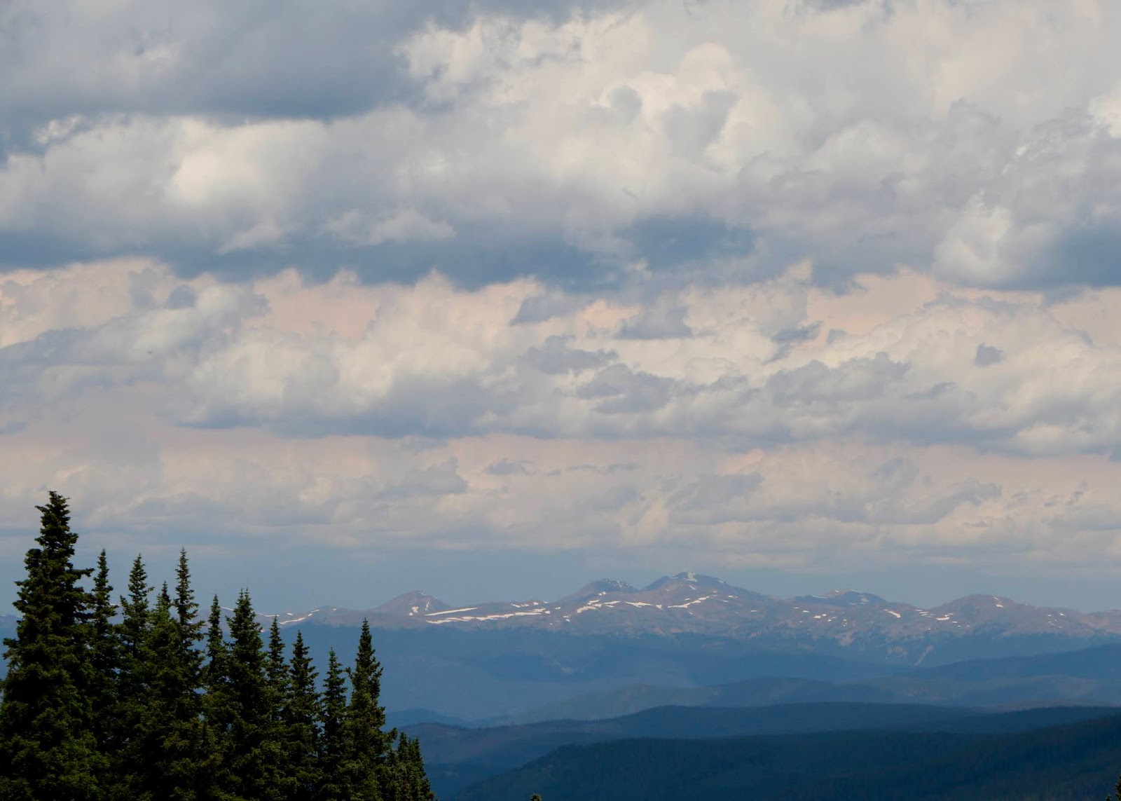
The temperature has actually fallen as we rise in elevation - now 48 degrees and a sporadic light drizzle.  We stop next at Obsidian Cliff (that's it in upper left);


 and then on to Clearwater Springs.

 We take the boardwalk down to the geysers which gurgle and steam amid the soft colorful grasses.  Nice morning lighting despite the rain softens things even more.


There are many fumaroles in the landscape, including these(white wisps) at rather stark Roaring Mountain.

You can certainly understand where myths and legends about this land came from when you think of Native Americans and early explorers coming across such sites and trying to understand their origins and meaning.

We take a one-way side road for a look at Virginia Cascades where we are all alone.


Next we decide to visit the brink of the Upper Falls of Yellowstone Canyon.  A nice walk (in the rain) to some beautiful overlooks and some not so typical pictures of the Yellowstone River.


Again, the power of the thundering water is awesome.


Around the Hayden Valley, we begin to see crowds at the pull outs.  Though we can't see any animals, this area is noted for sightings, so finally we stop and Beth asks what the attraction is.  It is three black wolves which have been stalking an elk.  Beth grabs the binoculars and has a look.  They look like three playful (big) black dogs.  The elk has escaped into a watery area and the wolves seem to have found smaller prey, pouncing and hopping - perhaps a rabbit or ground squirrel.   A little uncomfortable with the number of people, so we move on.  (Hmm...it really doesn't look too bad in this picture!)


We see a few lone bison posing along the way, this one surrounded by flowers and sage.


This route takes us alongside huge Yellowstone Lake for quite a while.  A few flocks of geese and one or two kayakers are the only things moving.


Many of the trees in this area are stripped of bark on the lower four or five feet.  No doubt food for animals in the winter.
We bypass several "attractions", some because they are crowded and some because we have seen them before, and just enjoy the ride.  I think we have been to the park five or six times, including an awesome visit in January.  Summer is not the ideal time if you are adverse to crowds, but it provides a handy north-south route on our trip - and I love something about it every time.

We exit the park a little after 10:00 and continue south to Grand Tetons.  The rain has stopped but traffic is super heavy and though we love some of the sights here, we opt to just continue on our way. πŸ˜ͺ  Nearer Jackson Lake and the junction with Hwy 26,  there are temporary signs urging people to drive carefully because of bears on the road.  We find out later that a Mama Grizzly with three or four cubs is frequenting this area. In less busy time we would detour to Jenny Lake and Colter Bay and maybe even eat somewhere in Jackson Hole.

Instead, we take Hwy 26 away from the parks,  southeast towards Riverton.  Note to self:  This is still part of the National Forest for several miles and a lot less crowded.

We stop at Togwotee Pass for a look.  Signs here also warn about grizzlies.  I certainly would have no problem keeping 100 yards away from a grizzly - I pledge!  That's what zoom lenses are for!


We see a small sign for Brooks Lake and Brooks Lake Campground and decide to check it out.  It is about 5 miles of dirt road to this beautiful place.


 There is a lodge (looks kind of primitive) here with lots of horses, and two smallish National Forest campgrounds which seem about 1/2 full.  A few boats out on the lake - seems fishing is very popular.  Greg liked this guy's outfit.


 We see a couple of backpackers setting off down this trail.  We make note that this would be a good place to spend some time.  Today it is a good place for a late lunch!

The wildflowers are abundant in this area!  We stop for a few photos on the way back out.  So pretty!


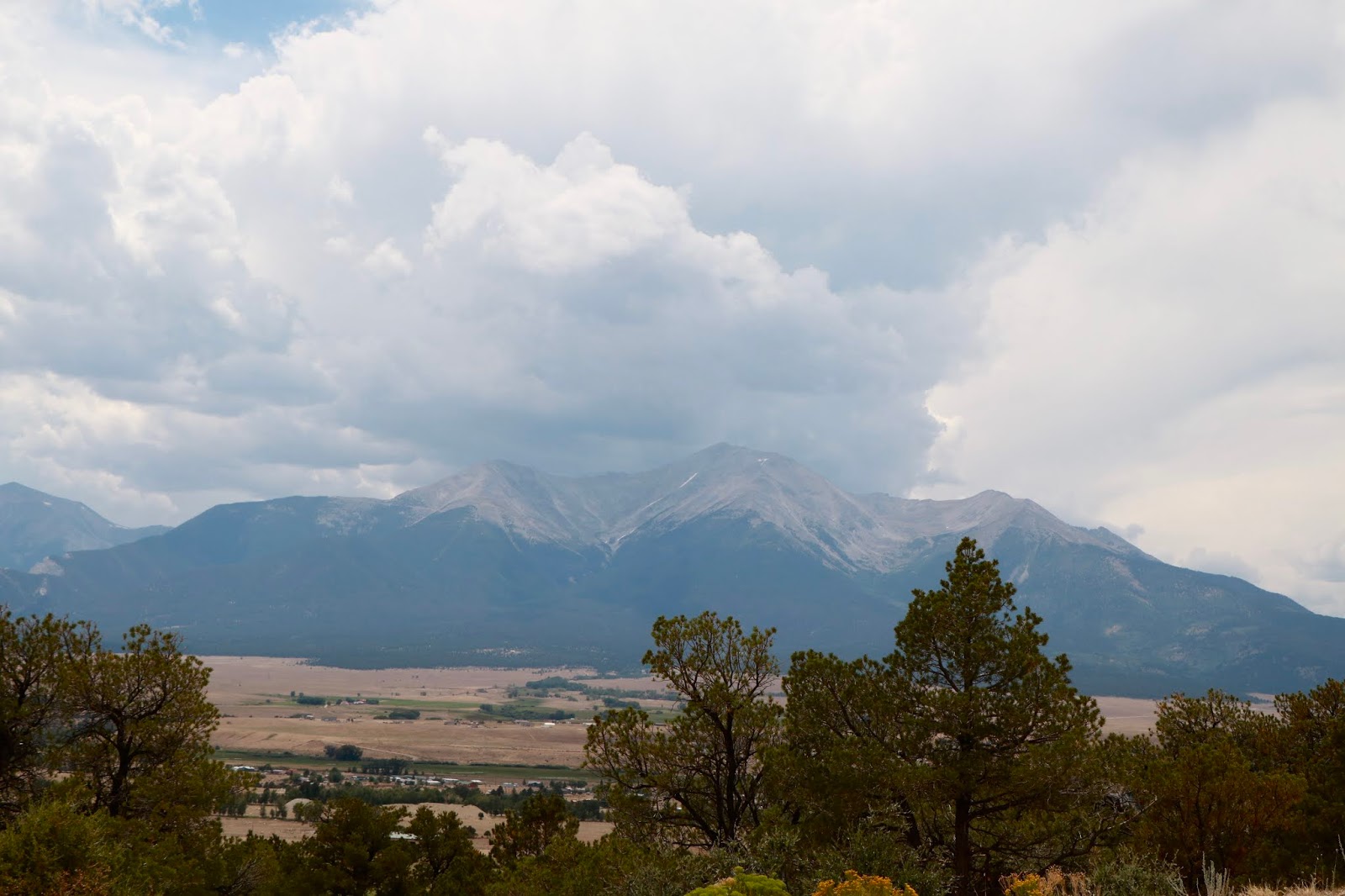
We continue southeast and  the landscape changes.  These painted hills were near Dubois.


We stop for a shot of these guys tending bee boxes.  We have seen bee boxes in many areas of the west.  Our poor bees need all the help they can get!


And then we come upon the Wind River and Red Canyon.  We've camped in the Wind River Canyon north of here which is a bit more forested, but here we are in rocky red terrain which is becoming more arid.  We'll have to get the eye drops out again.


It also becomes extremely windy as the land gets flatter, with Greg having to keep both hands firmly on the steering wheel! My sister-in-law who lived in Laramie, Wyoming for years always commented on the winds,  and judging by the miles and miles of snow fences we assume this is a year-round phenomenon.  The snow fences don't actually stop the snow - they help control the wind, which influences where the wind deposits the snow.

 Not much in the way of camping or boon docking spots across this central part of Wyoming, so we push on to the the western edge of the Snowy Range and Ryan Park Campground.  We are back in Medicine Bow National Forest.


While a less than spectacular campground, it has an interesting history.  First it was a CCC - Civilian Conservation Corps - camp during the Depression.  Then, during World War II it housed up to 300 captured Italian and German Prisoners of War.  Few remnants remain amongst today's tents and RVs.  Beth takes a short hike on the Moose Trail which circles the campground and offers a nice little stream and some pretty flowers.  What a brilliant beautiful blue sky!


Amazingly we have four bars of connectivity here, so are able to catch up on a few things.  No energy for cooking, so we have  tuna, cheese & crackers, chips and dip and wine.  We are back at some elevation so temperatures aren't bad and fall to a comfortable 50 for sleeping.  Colorful sunset!