Search This Blog

Saturday, July 18, 2020

Colorado: Creede, Kebler Pass June 27

Saturday, June 27

32 degrees this morning!  No, we're not in Texas anymore!

We make our way back to pavement and continue on 149 toward Creede.  We stop just before town at Landfill Road to do a little more rockhounding in a nearby ravine. Lots of shale-like rock and a few interesting finds.  Amidst all the rock, dust and dry scrub brush, are a few beautiful flowers!  Barely any stems or leaves but beautiful pure white flowers about 3" across.  Lovely.


 We move to another ravine where we encounter a man and his dog, Blue.  There is a nearby shooting range (just a few target posts with an embankment 30' or so behind them) and this man is digging bullets out of the embankment.  He owns several guns, he says, and makes his own ammunition using the spent bullets.  Blue greets me carrying what amounts to a small log! (Sorry I didn't get a pic of Blue - he was a large, blue-gray hound of some sort.) I convince him to give it up and fetch a smaller branch which I throw for him a few times.  The man is local and tells us of several artifacts (arrowheads, tomahawk head, etc.) found in the area.


We continue into the town of Creede and look for a drive called the Bachelor Loop which explores the history of the area, which largely involved mining.  The road begins at the Creede Cemetery and a small church which has many graves from the early 1900's, most of which  have simple markers.  The boom in mining silver and gold began in the1880's.  This was quite a rough and tumble place back then!


We pass the remains of various mines (not accessible) and the site of a town called Bachelor City which had a population of 1200 people in the late 1890's.  A few stacks of wood here and there are the only remnants.


 The road is rough dirt, gravel and rock and we pass only an ATV and 4 wheel drive jeeps. There are occasional private homes.

.
This hawk was keeping watch over the road


On the eastern side of the loop, heading back towards town, we come to the most interesting sites which are accessible.  Amethyst Mine is very picturesque.  There are other buildings and mines nearby, followed by a deep canyon with a small but raging stream.


 Perhaps we should have done the loop counterclockwise, as this sign was facing the other way, but we'd read that it was easier on vehicles to do it clockwise.

Again, in the midst of so much rock, dust and dirt, cheerful flowers manage to make their presence known!

Leaving Creede, the next stop is North Clear Creek Falls - a beautiful falls formed by an old volcanic eruption. The clouds have moved in, along with a little bit of thunder and rain, but it only lasts a short time. A dozen or so other people here, most wearing masks.  Isn't it beautiful!


We move into the San Juan mountains next, with this view from Windy Point Overlook at 11,000 ft, within the Uncompahgre Wilderness.  The US has over 109 million acres of designated Wilderness areas which are accessible only by foot, I believe, and are a refuge for threatened and endangered species forced to the edges by modern development. As President Johnson said, when the Wilderness Act was passed in 1964, "If future generations are to remember us with gratitude rather than contempt, we must leave them a glimpse of the world as it was in the beginning, not just after we got through with it."  Hopefully, President Trump will not undo this act, though he is trying.


 Lake San Cristobal, just south of Lake City is a large and popular recreation area. Pretty even under cloud cover, I'll bet it is gorgeous in the sun.


About two hours later, we reach the ski town of Crested Butte. It is mobbed with some sort of Art Walk going on!  Lots of people and the only masks we see were worn by waiters serving food and drinks in makeshift sidewalk cafes.  Probably an interesting town at another time, with lots of shops, restaurants and galleries; but today we inch through in the heavy traffic and continue on to Kebler Pass.

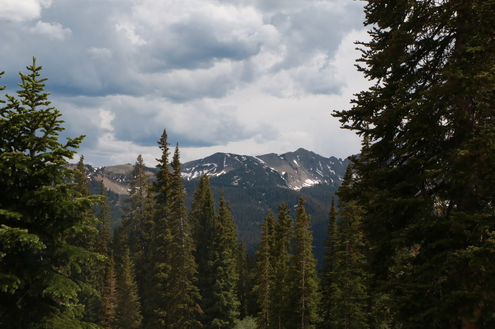
Kebler Pass is a 33-mile long dirt road going from Crested Butte to Paonia, cresting at 10,007 ft.


 Ready to call it a day, we take a turn for the first National Forest Campground we come to - Lake Irwin Campground.  We stop to ask the camp host about possible sites and he says we are in luck, as he has one unoccupied site, #20.


Again this is a National Forest Campground, so pretty basic.  It turns out to be a BEAUTIFUL site, though, because it is away from Lake Irwin where lots of swimming, canoeing, kayaking, standup paddle boarding, etc. going on.  Instead, a quick 3-5 minute walk in the opposite direction through the woods behind our site brings us to this small lake with a view of snowy mountain peaks!  I can't get enough of it ( as my 50 or so photos will attest!) and we have it all to ourselves.


 These delicate yellow flowers flourish at one end of the lake.(Glacier lillies)

 The clouds are constantly moving and in late afternoon the wind stops and the lake becomes a perfect mirror for the surrounding landscape.


 Closer to sunset the lighting shows those silver linings of clouds.


 Greg gets a nice campfire going for a quiet, beautiful ending to the day.  Clouds have again moved in, so not a terrific night sky, but no rain till we are tucked away.


Friday, July 17, 2020

Colorado June 26, 2020

Friday, June 26

Dawn comes early in this time zone - about 5AM.   It is 41 degrees when we finally get up at 6:30. Feels great after the 90's of Houston!

It is a beautiful morning and we head to nearby


North Lake for breakfast of coffee, cereal and fruit.   A pair of loons make ripples on the lake.

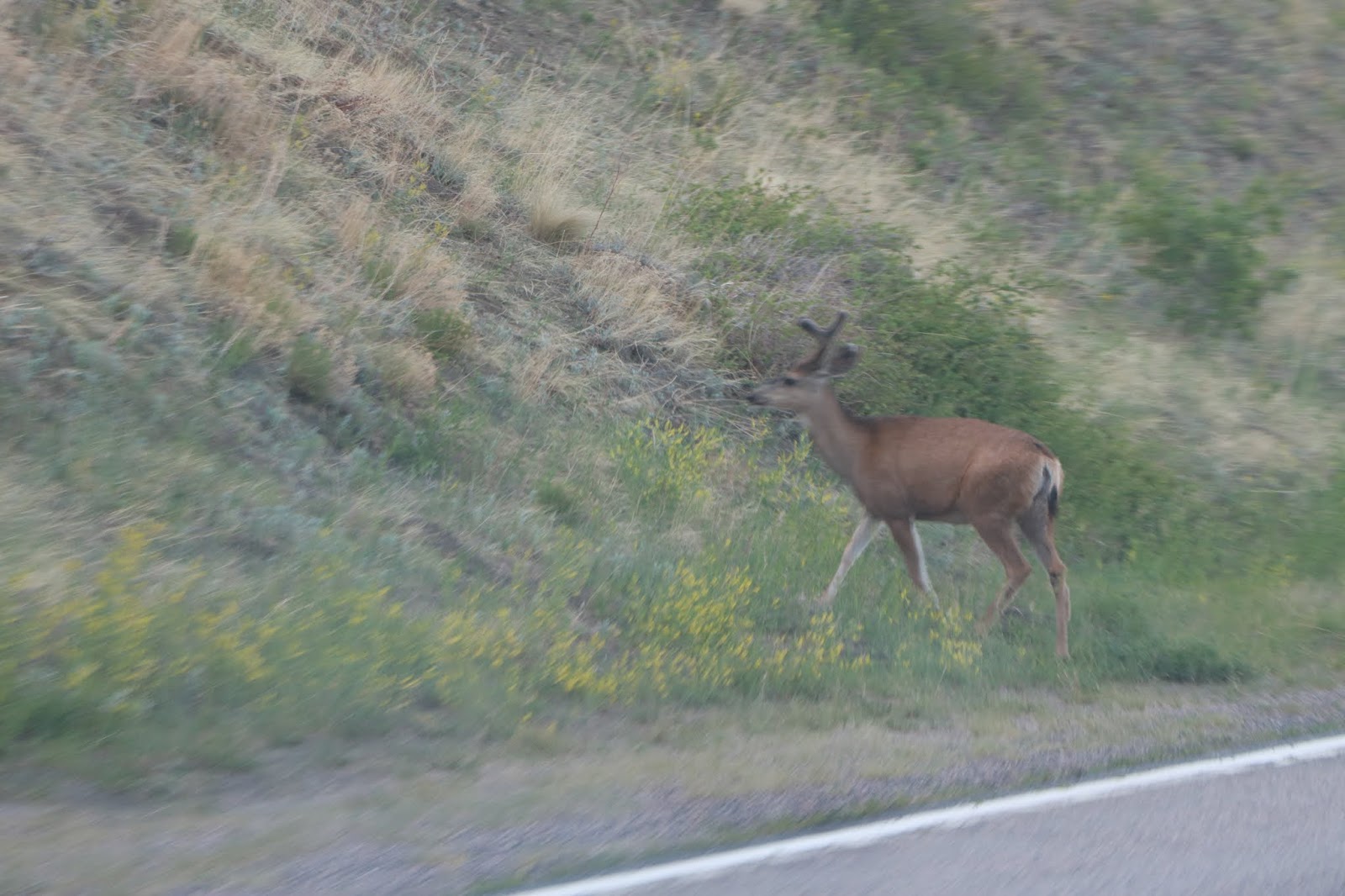
Our first deer sighting as we stop at Cordova Pass, overlooking a beautiful meadow, followed in short order by more deer, a flock of turkeys, rabbits and ducks. The bucks' antlers are still in velvet!

 Not much traffic as we climb mountains and ease into valleys.  Lots of snow fences.

  We decide to visit San Luis, the oldest town in Colorado. It features The Shrine of the Stations of the Cross, which sits atop a mesa overlooking the town.   The parking is next to some large murals and across from the R&R Market which was built in 1857.


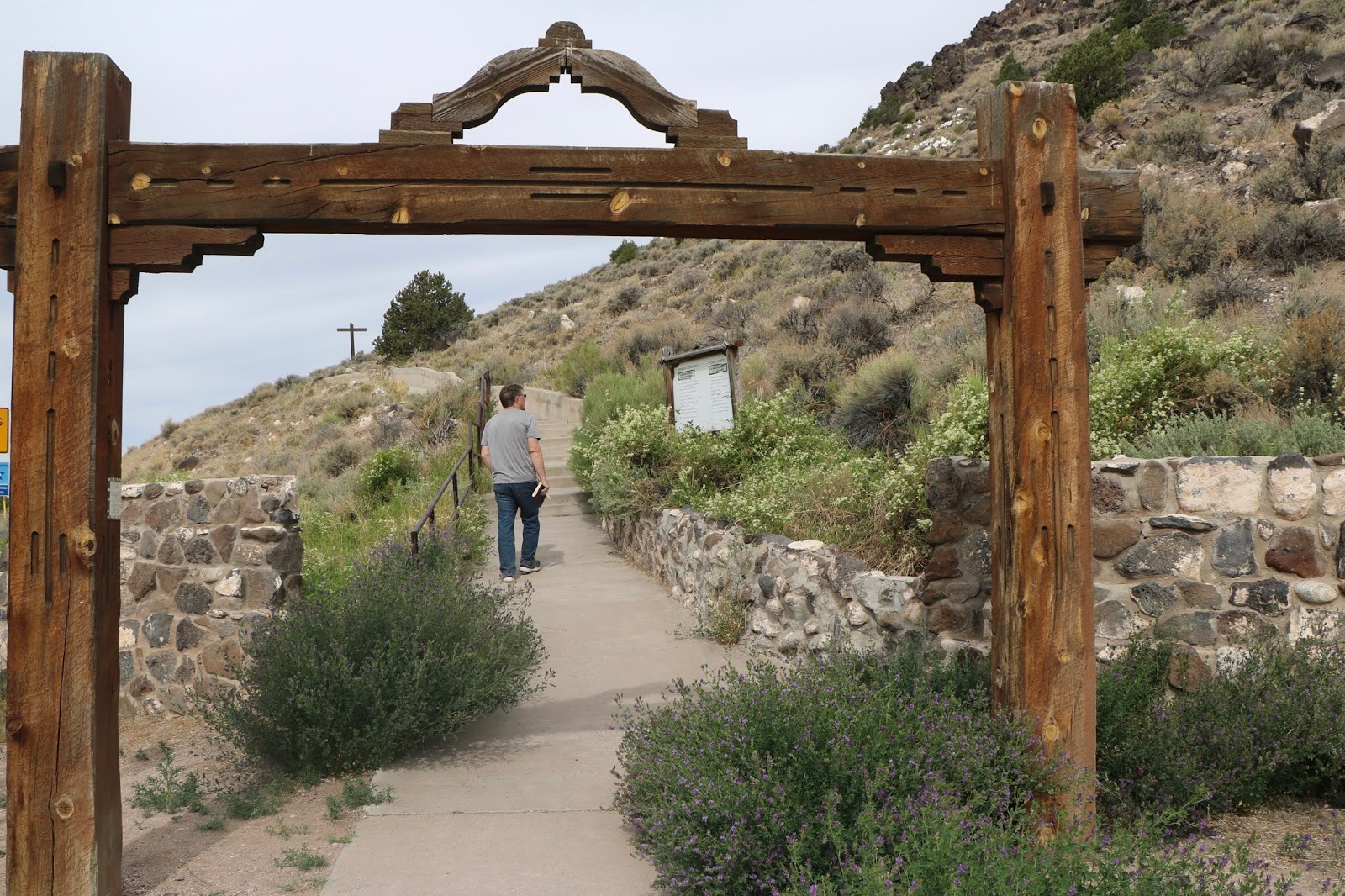
To reach the Shrine, you follow a footpath which winds up the mesa, passing bronze statues depicting each of the stations of the cross.  All were done by sculptor Huberto Magstas and dedicated in the 1990's. Very impressive! Here are a few...

 Jesus Falls the First Time
Simon Helps Carry the Cross


Jesus Falls the Third Time


The Shrine itself is adobe and quite lovely. Quiet and peaceful.


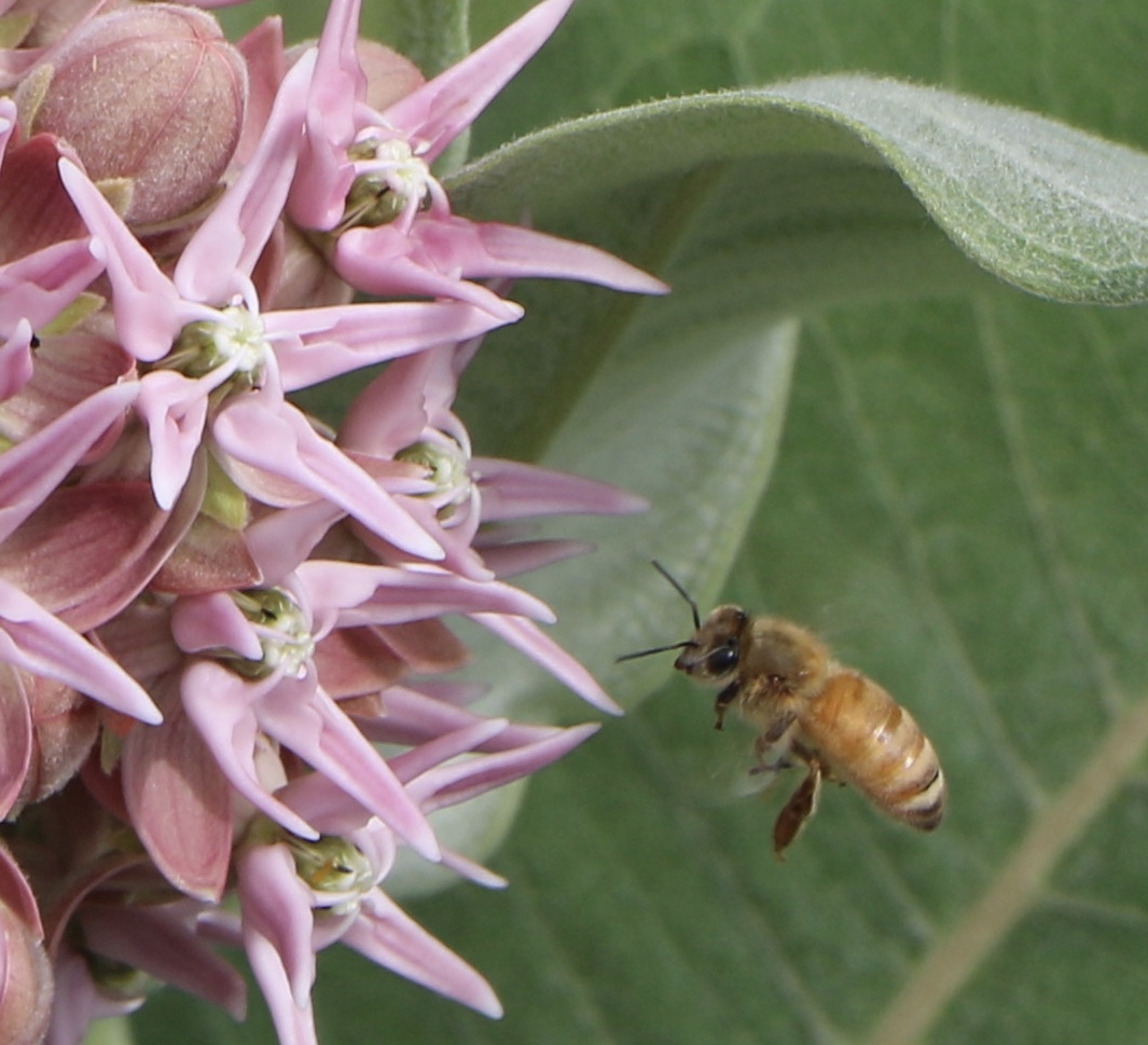
Back down in town, this fancy milkweed gets our attention, along with that of a friendly bee.

From San Luis, we head for 149N, known as the Silver Thread Scenic & Historic Byway.  We branch off on gravel Pool Table Road to look for rocks and a campsite.  A brochure we have mentions agate and jasper in the area, but we don't find much.

There are some interesting flowers, though.  Lots of new-to-me varieties.


  We decide to boondock in the National Forest up there, amidst a mix of evergreen and dead trees (looks like old fire or bark beetle damage). Clouds are moving in, as we discover this is "monsoon" time in Colorado.  But rather than torrential rains, it is a time of late afternoon or evening gentle showers which usually don't last very long. Not much more than a sprinkle, really.


Dinner is hamburgers and a tomato & mozzarella salad with tomatoes from our home garden.  These long days of Summer mean that we are going to bed with the sun.


Thursday, July 16, 2020

WESTERN MOUNTAINS JUNE-JULY 2020

WESTERN MOUNTAINS JUNE-JULY 2020

This will be a different kind of blog…"Blogging in the time of CoronaVirus".  It is written not as we travel, but as we return from this 3 week trip.  Because of the virus we thought long about taking off in our Trek, but finally decided to do it, going mainly to isolated areas and adding disinfectant, hand sanitizer and masks to our pre-trip packing list.  Our Trek is our home, so we will basically self-quarantine on the road.

 One of our favorite spots to access wifi and use the computer is local libraries, which unfortunately, are now closed.  Most wifi at places like McDonalds or Starbucks is fine for emails or research, but not strong enough for uploading pictures etc. from our Mac.  Greg will take his usual notes along the way and we hope that those + pictures + our not exactly “steel trap” memories will be sufficient when writing later!


Wednesday, June 24

It was 71 degrees and a bit rainy when we left Spring at 7:30AM.  Anticipating the heat across the state, we’ve decided to spend the 1st night at a hotel in Amarillo (a mere 583 miles) rather than mess with hookups to use the AC.

As we headed north, we left the rain and clouds behind and this field of sunflowers near Ennis was a positive portent for the trip! 

 We pass the now familiar mix of ranches, oil pump jacks, wind turbines, small towns  and those flowers tough enough to withstand Texas heat. 


 Only Fort Worth and its mash up of highways breaks the mold.

 Our first gas stop had some folks in masks, but most not.  On to Amarillo, where the folks at the Radisson were welcoming and we THINK smiling behind their masks.  Jimmy Johns’ sandwiches made an easy dinner.  Tomorrow we will finally get out of Texas!


Thursday, June 25

Our free breakfast consisted of “grab ‘n’ go” items, so we grabbed some fruit, muffins and granola bars and were off for another hour and a half of the Texas panhandle.  Home to cattle and sorghum fields which fade into sagebrush and sparse grassland when the irrigation ends.

Trains frequently follow the same routes as the highways here.  We stopped and got a shot of this train as the engineers tooted their horn and waved.


More masks here, including this guy, which Greg thought was an ant, while I thought he was a black snowman!
We spot our first pronghorn antelopes which seem to thrive in this harsh land; 


go by Capulin Volcano - a landmark of the area -


and soon cross into New Mexico and head for the high pass at Raton that will welcome us into mountains, Mountain Time Zone, and Colorado.  (7,746’)

Not far into Colorado we leave the highway and wind into the mountains where we have reservations at Pergatoire Campground, in the San Isabel National Forest.

A nice scenic road as the Trek gasps a little on the steep inclines.


A few rugged ranches along the way.


National Forest campgrounds in general are older, a bit roomier, but primitive = no electric, water and sewer here.  Sometimes a water pump,  maybe a fire ring and sometimes a picnic table.  Pit toilets.  But no giant motor homes and more tents.  Just fine with us!

Pergatoire (there is a river nearby of the same name) is back the first of many dirt roads we’ll traverse this trip!  Nice breeze and we find a little shade in a clump of aspen trees.  The air is clear and crisp and there is a pleasant pine scent.  If only we could bottle this air!  We walk a bit and can feel the altitude.  Early to bed as we open windows and throw on an extra blanket.