This morning we do some maintenance, dumping tanks, cleaning, topping off the water tanks. Followed by hot showers.
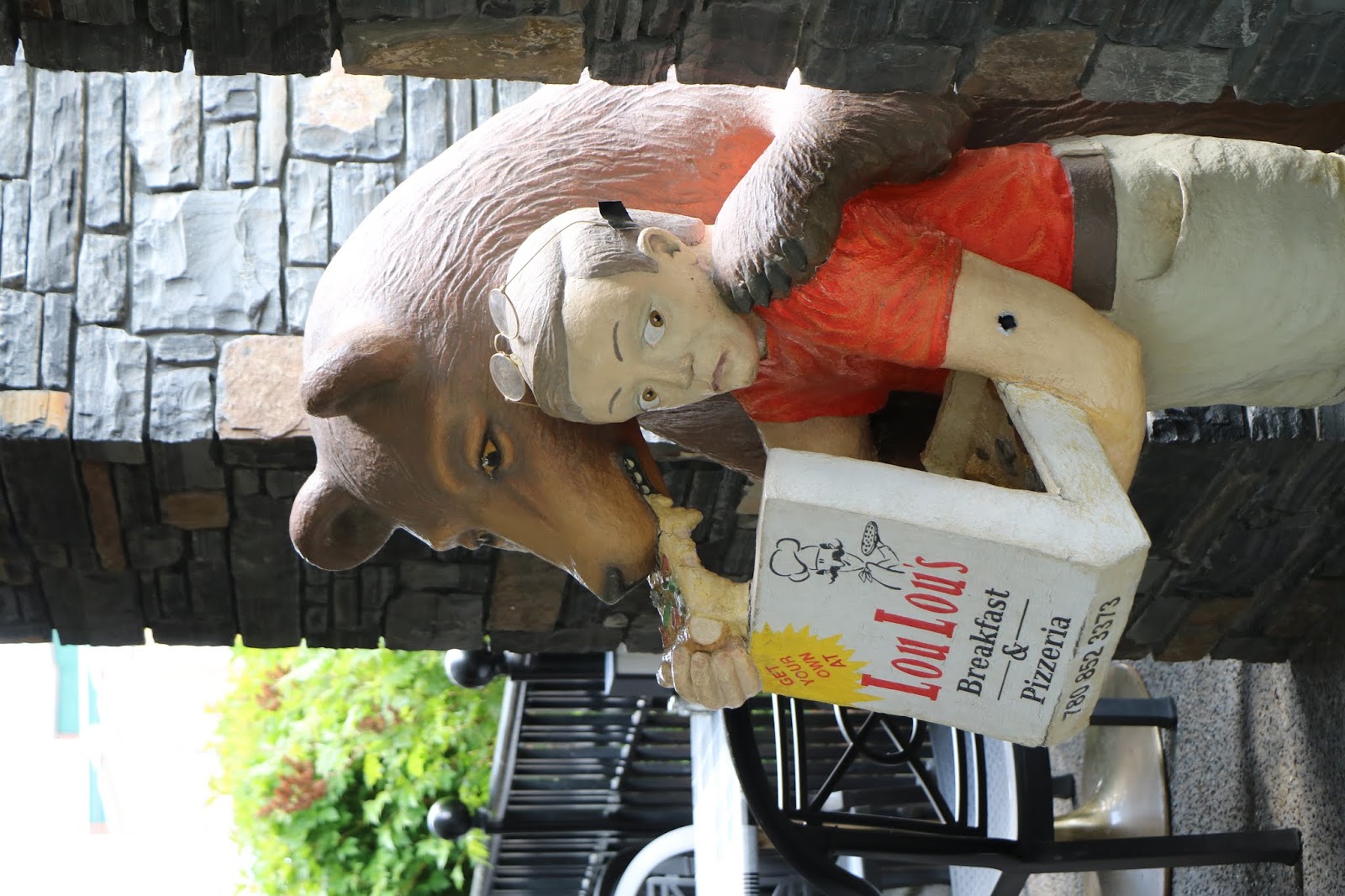
We decide to go into Jasper for gas, groceries and a stop at their visitor center. And then have lunch at nearby LouLou’s Pizza. Very good handmade pie!
We drive to Maligne Canyon, where we hike from first bridge down to the fourth bridge – piece of cake, downhill! The canyon is very narrow and 10 meters deep in places.


Then it’s back up to the 1stbridge, built in 1914. There is a chockstone shaped like a heart wedged between the canyon walls just up from the 1stbridge.

Maligne Lake is the next destination. A huge, glacial lake, surrounded by mountains. Beautiful but kind of buggy with gnats and mosquitos so we don’t stay long.


We pass by Medicine Lake, but with the heavy winds today and little sun, there are no reflections to be had.


We head west from Jasper – still a very beautiful area but outside of the National Park limits. We have decided to try to circumvent the “touristy” areas as we begin to head south-ish.
Had to check out this spot down a rough road.


Crazy rough rapids/falls, but downriver looks downright calm.


We stop at the Mount Robson Visitor’s Center. Mt. Robson is the highest mountain in Alberta.

We did find out from Liz that Canada does indeed have the equivalent of our Bureau of Land Management sites, which are mostly free. Theirs are called Crown Lands and most are referred to as Recreation Areas rather than Campgrounds. She says the visitor's and information centers are not supposed to promote these (no income generated), she mentions a few but in an offhand, make-it-sound-not-so-great way.
Nice photos from the visitor’s center….these are the first of many lupines we will see along the way.


Cranberry Marsh Wildlife Reserve is the next stop. Probably pretty remarkable when the birds are migrating, but pretty unremarkable now.

We are spending the night at Blue River Campground. It is a kind of make-it-yourself campground put together by an oriental man. Not too impressive, as there are extension cords, hoses and other things running every which way. There are apparently many projects under way and not too many completed. Oh well. They do have nice hot showers! By the exit, there is a “Like Us on Facebook” reminder….uh….not too likely.
Temperatures hit 76 today, the warmest in a while, but it cools off nicely for good sleeping weather.
No comments:
Post a Comment