Search This Blog

Tuesday, July 28, 2020

July 12 Montana, into Yellowstone, Lamar Valley

Sunday,  July 12

90 East is a major highway, so not much to see.  Beth takes a short nap in the back and when she wakes we are almost to our turn south toward Yellowstone, 87 South.


This is a pretty road that follows a long valley.  It is a huge migration path for elk, deer and bison in Spring and Fall.  We see a few pronghorn antelope.  


We again are following a river - the Yellowstone - and there are a scattering of campgrounds and resorts, a few small towns.  Mostly wilderness.  Some areas of evergreens, some areas that are dry and rocky.

 We drive the whole way to Gardiner which is the north entrance to Yellowstone, and check a National Forest Campground up Jardine Road above the town.  The campground there is full but doesn't look very inviting anyway - no trees and it is getting hot.  Of all the campgrounds inside Yellowstone, only four are open and they are all totally full, probably reserved months ago. Beth talks to the camp host and a ranger and they suggest going back to 87 and north to Canyon Campground, another National Forest site that we must have passed.  There are some boon docking spots further up this road we've read, but the ranger says they are full also.  So we follow their advice, and see some camera-shy elk along the road back down the mountain.


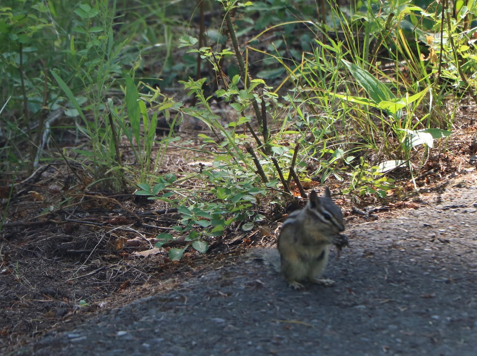
Canyon Campground is pretty nice and has trees - and lots of rocks and is a whopping $3.50 a night. A few chipmunks check us out.   All of the campgrounds we've stayed at have been self-serve, where you fill out an envelope, add your money and deposit in a special depository.  So, no contact. It is warm today and we find a nice site amongst the rocks and trees.  
  It is early afternoon, so we decide to spend the afternoon exploring the Lamar Valley in Yellowstone since we will not go that way tomorrow.  We leave chairs and an "occupied" sign at the site, just in case.

 It is a quick drive (14 miles) to the park entrance with only a few cars in front of us.  Map in hand we head for the Lamar Valley, enjoying some beautiful sites along the way like Undine Falls and Floating Island Lake.


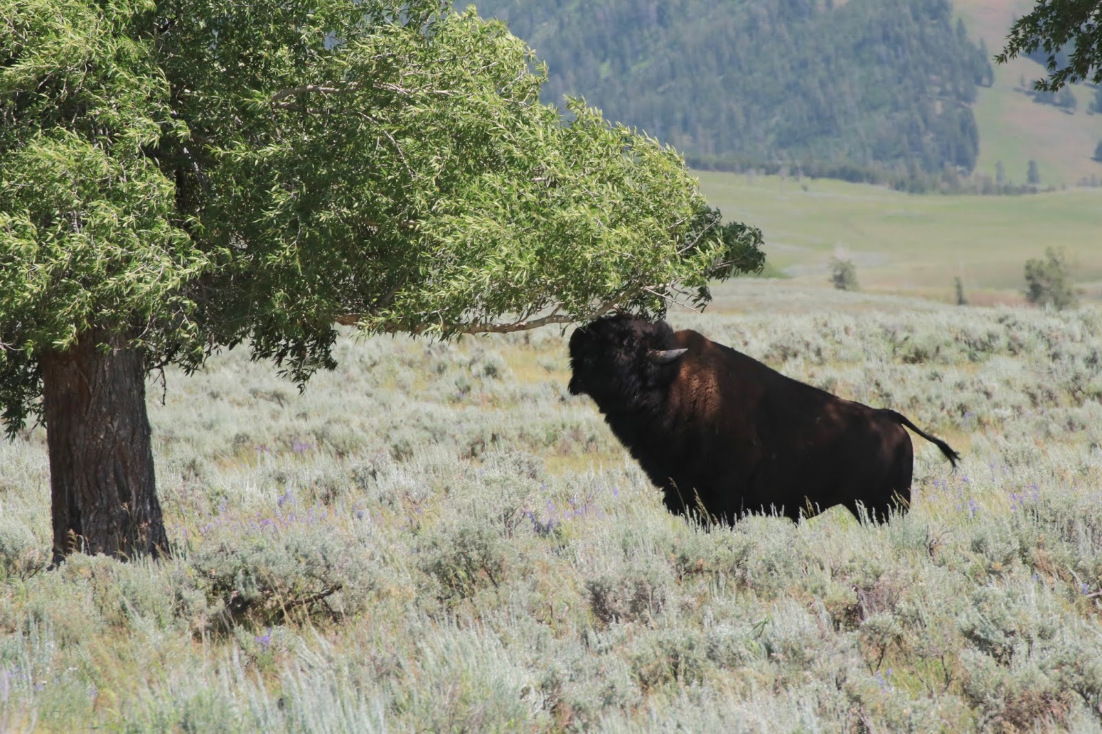
This large bull bison surprises us at one spot, preferring to be away from the herds.  He has lost his heavy winter coat.


The Lamar Valley always holds many bison and today is no exception.  A few are near the road but the majority are across the valley.  Still a marvelous sight to behold!  Though the bison in Yellowstone are managed, they are still free to roam.


This guy is stretching for some tasty leaves but can't quite reach.
 We drive almost to the end of the 40 mile long valley, and then turn back.  Traffic slows and stops and soon we see why -  not a bear jam, but a wolf jam!  Two wolves have crossed the road and are heading into the hills!  This is the first time we have seen wolves in the wild and it is so exciting that I can't focus the camera and end up with one  all time crappy fuzzy picture.  😜


 They are not very near - about 100 yards - but even at that distance the size is impressive.  It looks like an adult followed by a younger one and they quickly move out of sight while a frustrated ranger behind us tries to get traffic to move.

A short while later,  this herd of elk catches our attention and we sit and watch them for a while. Probably a dozen in all.
A few wander closer to us, including a spike with his velvet nubs.


Back at the campsite we have hamburgers and salad for dinner after chips and a 6-layer dip that we picked up last grocery stop.  Long driving day for Greg, thank you.   We aren't very far from highway 87, but noise is hardly noticeable and we sleep well.  We plan on an early start tomorrow to maybe beat the crowds that are Yellowstone-in-Summer-amplified-by-COVID.

July 11 Montana, Falls, Cedars, Missoula area

Saturday, July 11

49 degrees this morning as we head into the little town of Troy.  Set amongst the National Forests and rivers, Troy caters to the outdoor folks with a few stores, gas station, ranger station and practical establishments like the "Booze 'n' Bait" store.  We see a few deer this morning as well as more turkeys and an eagle before 8:30.

First stop is Kootenai Falls and swinging bridge.  A few other cars in the parking area already, but we see only a few people on the trails.  We go to the swinging bridge area first.  Depending on the lighting the water can look beautiful blue, deep green or nearly black!


Then we walk to the Falls.  Wow!  What a power display!  There are warning signs (Beautiful but Deadly) about entering the water - and with good reason.  Several folks have died here and there are no fences or railings.


From here we take 56 South to Ross Creek Cedars, 4 miles down a narrow, single lane dirt road. We park and walk the trail.  Wow!   It is like being in a huge cathedral, awesome, quiet and still with a silent presence.  You can feel your mind expanding to take it all in.


These trees would dwarf the other cedars we've seen on this trip. There are also huge spruce trees.


The atmosphere here is dark and moist, with lots of moss, ferns and fallen needles that cushion our silent footsteps.  Sunlight makes it through the canopy here and there, illuminating the green undergrowth.


 Near the end of the trail in a mostly dry creek bed, folks have stacked rocks in silent homage (and some just because it's fun to do). A mother with two small girls are creating their own stack.  I knew cairns were used for trailblazing, and have seen them more and more often for what I thought was no apparent reason.  I looked it up and found  "Rock stacking has carried spiritual meaning across cultures for centuries. The act of balancing stones carries with it a practice of patience and a physical effort of creating balance. Each rock can signify an intention of grace for thankfulness, or offered up for another in need. ... A stack of rocks is called a cairn."

SIGH

We continue south and east.  We have seen frequent "boat check" areas both here and in Washington and Idaho.  Even canoes and kayaks are being checked in an effort to avoid introducing any non-native invasive plants or animals.    There are frequent "fishing access" signs.

Here is a pic of the Flathead river.


We planned to stop at the National Bison Range, but look it up on line and are surprised to read that it is closed.  Must be a staffing issue, we think, since the entire range is a large outdoor drive-through area.  There is a visitor's center and picnic area, but....disappointing.

Just past Missoula, we head to our boon docking site for this evening about 10 miles off Gold Creek Road in the Lolo National Forest.  We've read about this on a camping website.  This is our warmest day yet and Greg finds a spot of shade here in a small valley near a robust stream.  A few others have the same idea but are not near.  We run the overhead fan plus a small hand held one.

We check out the area, then Beth does a little hike up the mountain across from the Trek and finds a few interesting rocks, and a deer who pricks up its ears and then silently melts into the woods.

Ham and mac 'n' cheese for dinner.   And Greg continues his winning streak in cribbage.🙍


Things finally cool off around 9:00 when the sun is setting.  Several folks in the area leave with the sun, so we assume they were locals doing some fishing.  Nicer spots available now, but not worth re-locating.


Monday, July 27, 2020

July 10 2020 Idaho and into Montana

Friday, July 10

Beth wakes up early this morning, so we get an early start.  52 degrees at 6 AM.  We decide to get a closer look at Priest Lake.  The rockhounding book mentions the shore at Ledgwood Picnic Area, so we head there, a short drive.  Beautiful morning as the clouds begin to dissipate. Quiet and peaceful.


 We are actually on a cove of the 20-mile long lake.


The pebbles on the shoreline range from tiny to fist-size and most are already quite polished.  They look so much prettier in the water, so Beth dons her water shoes and wades in.  The water is a bit chilly even here in the shallows, so I can imagine how cold the depths must be!

Lots of interesting layered stones.  Greg and I each fill a good size zip lock before we break for breakfast, check emails, etc.  The day has warmed enough to lose the warm jackets.

This interesting flower is close by.  It is called a tiger lily I find out later, and it does resemble the daylily with that name.  However this flower is only about 2" long on a stem that is over three feet high!


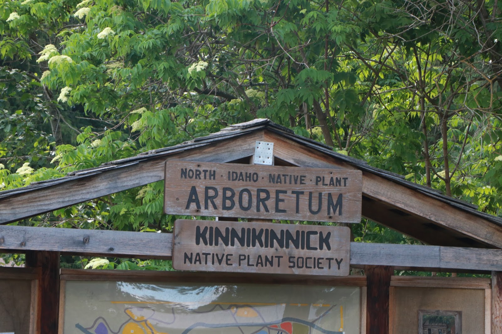
We head back south and then continue the loop toward the town of Sandpoint.  First stop is the Bonner County Historical Society & North Idaho Native Plant Arboretum, both of which are OPEN!

The museum is very nice, well organized and has interesting artifacts that have to do with early development of this area.  Idaho didn't become a state till 1890 and the Northern Pacific Railroad connected Sandpoint to the rest of the world, so the US history here is relatively recent. The railroad once ran right through main street in town before it was moved outside of town where three major east-west railroads converged.


 Railroad items, logging tools, fishing items, clothing, household goods, and personal items from early residents. Well written descriptions and stories - an almost intimate feel.


Outside are an old water wheel and a bright yellow caboose.

 There are beautiful native flowers and plants in the walk-through arboretum which was created and is maintained by the Kinnickinnik  Native Plant Society  (kinnickinnick is a long-lived evergreen ground cover).  A few plants are labeled, but I check in the museum to see if they might have a pamphlet or something to identify others.  The sweet young girl (she seemed almost embarrassed to ask us to pay the $3 entry fee) there offers to lend me a book on native plants that they have for sale while I look at the flowers - cool!  I take pictures of many of the pages for later i.d.
Not sure but I think these are called pussytoes!

Wild geranium

 Western Columbine

Don't know the name, but each little bud bursts into a fuzzy ball.

Wild Mountain Rose


Self-Heal or Heal All

Threadleaf Phacelia

Indian Blanket

We decide to visit the town of Sandpoint which looks very interesting, kind of artsy, young and fun.


 We don masks and visit the  Galaxy Gallery which is an indoor market in a building built over the river.   Feel sorry for the vendors who are not making many sales these days.


Sandpoint must be an interesting place in the winter, too!


These folks were in the river just outside the Gallery.  Stand-up paddle boarding has become very popular everywhere we've gone.


And this alley next to our parking spot was given over to colorful graffiti.  Not your normal alley.


From here we take Route 200 for a short ride towards Hope, which was touted as a beautiful drive.  It is also known as the Pend Oreille Scenic Byway and runs along the Pack River which leads to Lake Pend Oreille.  Pretty enough as the water makes it's way through a variety of landscaping.  It is a popular fishing area.


Then back to the loop and a little further north to Bonner's Ferry.  I remember stopping at their wonderful welcome center once and we head there again, but alas... closed.   We take a ride out to the Kootenai Wildlife Refuge.  Lots of water areas that look like they would attract beaucoup water fowl during migration, but not much today but a few ducks and geese and this eagle overlooking it all. The write up names a ton of animals that live here, but nada today.


Enough of the Selkirk Loop (which continues into British Columbia, Canada IF the border were open.  Sure can't fault Canada for closing it though - I'd do the same!  A different river every few miles, it seems, as we leave Idaho and take route 2 east into Montana.
 We are back into Mountain Time Zone now.  We stop at the Kootenai National Forest's Yak River Campsite near Troy.   Only a few available spots, so we snare one.


This sign is posted, so we leave the hood open.  We've only seen this once before and that was for packrats at Organ Pipe in Arizona.  Apparently the critters like pitch dark and have a taste for wiring!

No wood rats, though we do see a few chipmunks and squirrels which we've seen all over the place.(Basically rats with cute stripes and bushy tails 😄)

We hike to the nearby Yak river and explore a bit before settling down.  The river is clear, wide and fast moving.   A few fisherman are plumbing its depths. 


 And yes, I did see some more flowers, but restrained myself.

We have ham & cheese sandwiches  with chips and hummus, and finish off the cherries.

 We've decided not to go to Glacier National Park as we have heard that it is jam packed, with only the western entrance open.  Many Glacier and Two Medicine, two of our favorite spots are on the east side.  We've been there 4 times and obviously love it, but have never been able to complete the Going to the Sun Road which traverses the park, due to snow, mud slides, etc.  I might have to rate this as my favorite National Park, and it looks like we'll have to go back at least one more time.   Instead we will go back to a few spots in Montana that we've enjoyed and then head down towards Yellowstone.  As far as we can tell, there are no special regulations there, though some campgrounds and visitors centers are closed.

A clear night and the stars sprinkled amongst the tall tree tops are wonderful!  It has been so cloudy this trip that we haven't seen much night sky.  That, and the fact that we're often falling asleep as the stars come out! 😊