Search This Blog

Thursday, May 7, 2015

 May 2   Back to Oregon


Low clouds and 44 degrees this morning.  We had breakfast, then took Rte 503 through Battle Ground, to Vancouver, Washington. Nice country road with cattle, sheep, horses, goats, fields of vineyards and berries.


 There are still mountains, but larger valleys with more flat spots.

Greg spots an LA Fitness in Vancouver, so we stop there instead of going into Portland.  Nice but busy facility.  We worked out and then took nice long showers.  Though we have been walking a lot, we could tell that we haven’t been doing our regular upper body work!


We crossed the Columbia River into Oregon again, through Portland and to the town of McMinnville where, on my brother John’s recommendation, we arrived at Evergreen Aviation and Space Museum.  Quite a huge facility with three major buildings.  The first one housed Howard Hughes’ huge Spruce Goose airplane and a large collection of pre-WWII airplanes.  Replicas of the Wright Brothers’ Flyer,
the Curtis Jenny from early WWI.  There was a surplus of these planes (and pilots) after the war, which led to the hayday of barnstorming and introduced much of America to air travel.


The Spruce Goose was built during the buildup to WWII and so, was built mainly from Birch. But it took years  (5) to complete and  It was flown once by Howard Hughes November 2, 1947. With a wingspan as long as a football field and  tail as tall as an 8 story building, it was a monster compared to any contemporary planes and remains one of the largest ever constructed.

Many interesting planes  developed as aviation grew by leaps and bounds and many experimental planes were homemade. 
Seabee Experimental

Gyrox - plans in the works to fly it across the Atlantic!
The DC3 was the first widely used commercial plane and many planes were developed for the military like the B-17 Flying Fortress and the Flying Tiger Curtis P-40N. There were also planes from Germany, Canada, England and others on display.

The second building contained an IMAX theatre where we watched a film called Living in the Age of Airplanes, which was done by National Geographic with their usual excellent photography and history. Today over 100,000 planes take off or land in the US each day.  And travel has become widespread even to places like the South Pole.  Air freight has made the world small as well - they used the example of flowers, cut in places like Ecuador and Kenya and delivered for sale to Amsterdam and 60 other countries within 3 days.

The third building contained planes and helicopters from WWII on, as well as quite a lot of information on NASA and the space program, as well as the Soviet program and models of rockets, capsules, Skylab, etc. 

 I didn't realize that helicopters have gotten so huge!
US Spitfire


All in all, this was a fantastic collection. We just ran out of steam part way through the third building.  There were also many planes on display on their extensive grounds.

We got back on 99S instead of getting on the expressway,  and passed lots of farms, a few small towns, grass fields, hazelnut and chestnut farms, and many many sheep.  Saw a ring-necked pheasant crossing the road which I haven’t seen since childhood.

The Walmart in Rosenburg didn’t encourage overnight stays, so we ask at a nearby Lowe’s and were told we could park there. Quiet night, we had tacos and beans for dinner.


May 1, Mt. St. Helen's and Lava Tubes

 May 1  Mount Saint Helen’s and Lava Tubes


Happy May Day!

44 degrees at 7:30 this morning.  Had a quiet night and started out early for Mt. St. Helen’s.  We have heard that the road through the park isn’t completely opened, but there are sights to see and the State-run Visitors Center is open.

Getting there, we travel some back roads – hand painted sign reading "Eggs, Kindling & Camping" gives you an idea. Lots of logging and occasional cabins and houses, most all of which are flying the Seahawks “12” flag  (the fans being the 12th player on the team – an idea they stole {actually bought after a wrangle} from Texas A&M). 

We drive alongside Riffe Lake and stop at Mossy Rock Dam.  There are quite a few dams and resultant reservoirs and lakes in the area.  Mossy Rock is the tallest one in Washington State at 605’.

We pass some pastureland, a bulb farm, Christmas tree farms and berry farms.  A U-Pick sign for blueberries says come back in August.  There are workers in some of the fields doing planting and trimming.  The occasional houses have lilacs and other Spring flowers.


We reach the Visitor’s Center at Silver Lake and watch a film about the eruption of Mt. St. Helen’s, which happened during March, April, May and June of 1980.  We vaguely remember the event – I especially recall the story of a scientific observer who was killed 7 miles from the mountain.

The power and ferocity of the event are captured in the film, photos and some very moving personal
narratives.  There were numerous eruptions (97 at least) over a four month period and 57 people died or went missing.  The mountain lost over 1,000’ and the blast scorched or blew down over 230 square miles of forest (enough to build 100,000 homes!)  Rivers changed courses, lakes were formed – the topography of the area was altered forever.  On the other hand, the area became a laboratory and people from all over the world came to study the effects on and the recovery of the land.
The visitor center is 30 miles from the mountain, and we drive as far as we can, to Coldwater Lake, which is near where the road is closed.

  There are several overlooks along the way but the only things open, naturally, are a restaurant and gift shop.  We stop for the views and signage at Elk Rock, Castle Rock, Coldwater Lake.  As we get within the blast area, it is obvious that all the trees are fairly young.  Mostly Noble Fir and other evergreens. Many were planted but some, like alder and aspen, are coming back on their own. All were surprised how quickly life began to return as plants and animals appeared.

 The area around the mountain still shows signs of rock and debris, though plants and trees have grown back over places where the mud was 150’ deep and ash covered the entire area.
 

Coldwater Lake

Next we go further south to some lava tube caves,  Ape Caves (no apes, it is named after a local climbing group), but there is no easy way to get there – quite a drive.  Still part of the Mt. St. Helen's National Monument area,  the caves are over 12,000’ long and were discovered in 1951 by Larry Johnson.  There are stairs down into the caves at one point, but once down there it is all rock and stone, dripping water and dark as night. 


The caves are shaped like tunnels and are probably at least 10’ in diameter. We have brought two flashlights.  There are scoring marks along the side and occasional spots where we have to clamber over piles of rocks.  Cold and quiet. We hike for about a mile and then back to daylight.

We decide to stop at a spot along Road 83 that Greg had noticed on the way in.  A short, rough road to a clearing  and even rougher road beyond, definitely not well traveled. 
I walk while Greg exercises and spot hundreds of tadpoles –
we hear the frogs later that night.   Lots of yellow Scottish Broom, which seems to be prolific here and in Oregon, from the beaches to the mountains!

Wednesday, May 6, 2015


April 29, 30  Sumner, WA, Mt Rainier
Today was a catch-up/clean-up day in Sumner, WA.   We first found a laundramat and did a few loads.  They named their washing machines after Disney characters and we were in Sneezy, Buzz and Pinochio.   Greg did exercises and Beth made a few phone calls.

Next we went to the Sumner Library and handled some tax info, medical, banking, reservations , etc. They had great internet and were helpful with printing things too. Printed off Affidavits for Bryan where we attested that he doesn’t have previous wives, bad intent and all that – part of their requirements for the Catholic Church.  They (B&J) are spending the weekend at an Engagement Encounter as another requirement.  Greg caught up on emails and a few other things.

We finished up around 2:45 and then had some lunch in the Trek.  Decided to see a movie and choices were pretty limited so we chose Furious 7 (forget that we didn’t see 1-6).  I think the previews lasted almost as long as the feature!  All in all it wasn’t bad, though we aren’t going to rush out and rent the others. Entertaining and the good guys prevailed!

Ended the day back at Bonney Lake.  Drove 15 miles total and didn’t take any pictures today!


April 30  Mount Ranier

Today we got back to nature.  Passed some farmland with cattle, bulbs, berries and vineyards.  Also wound through some mountains and saw lots of signs of the logging industry including clear cutting,  newly planted seedlings, lots of lumber hauling trucks, saw mills, etc.

Mount Rainier is 14, 410’ and was named after a British naval officer named Peter Regnier.  I think someone took the weather into account when the name was changed to Rainier.  But today is sunny and in the 50’s.  The Park, established in 1899, is 337 square miles, most of which is dominated by Rainier, and has 26 active glaciers. Our first sight was from over 30 miles away and was pretty awesome, though it was partially obscured by clouds.

As we wound closer we passed this interesting motel – with rooms in cabooses in Elbe. Also this historic  tiny church. 


 There is also a scenic train that leaves from there, but like many touristy things it doesn’t start till mid or late May.  Passed many lakes and stopped at Alden Dam  which contains the Nisqually River.


From the entrance, the road into the park  had lots of elevation changes, along with the requisite switchbacks.  Snow-capped Mt Rainier came into view occasionally when there was a break in the dense forest.


We stopped at several scenic spots, including Christine Falls and Narada Falls which was an impressive 168’ tall. As we hiked down a trail to view the Falls, the sounds were amazing.The roaring of the Falls on one side and various trills and trinkling of smaller rivulets and streams on the other side. 

Narada Falls

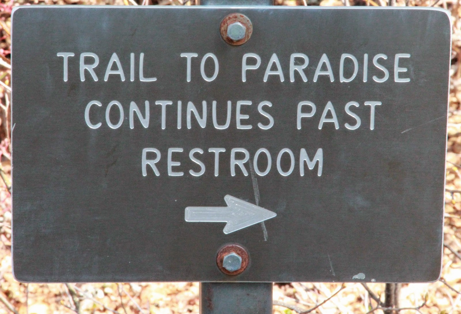
 As we got higher,  (oops, this is Washington, I need to be carefull) – as the road wound higher I should say -there were tall orange poles used to mark the road when there is deep snow.  The road is not completely open yet (snow and a mud slide), but we could get to Paradise (which was past the restrooms, thank goodness!).


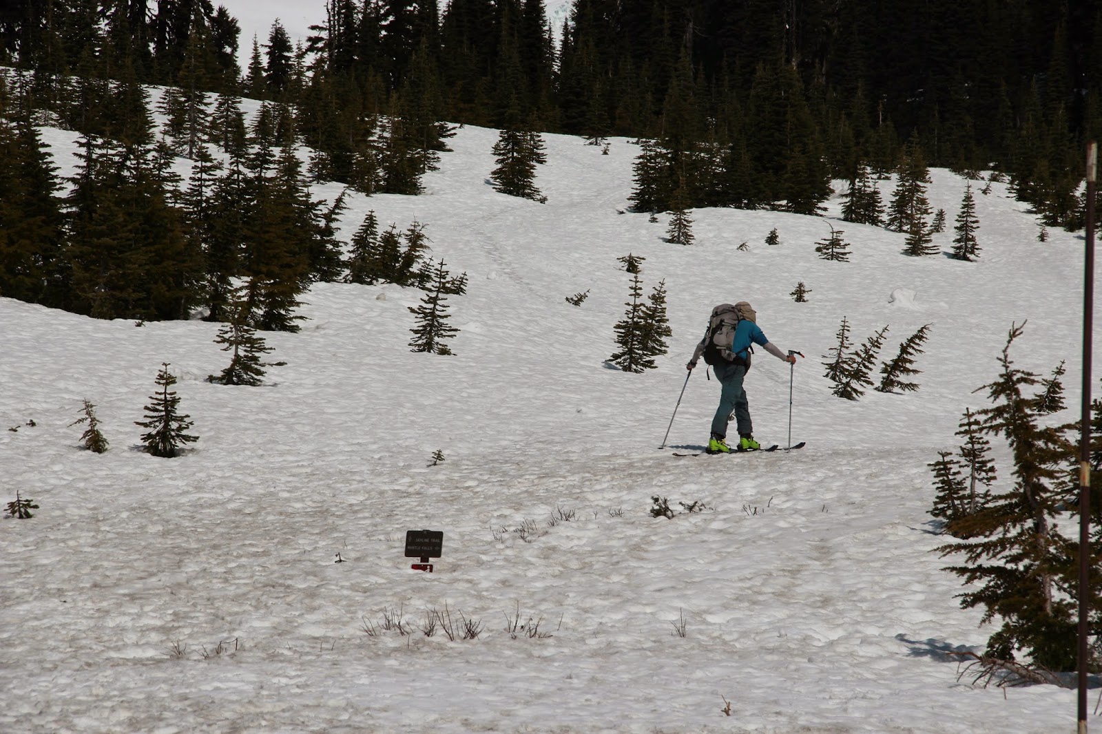
Several people were there, trying to eke out a little more snow time.  Someone told us that the skiing was only good for about three weeks this year.  As in other parts of the Northwest, the snowpack is low and there is some concern about watershed. Snow around the visitor’s center (closed) was still piled high, though the roads were clear.


We  stopped at the lower Longmire Visitor’s Center and walked the Trail of the Shadows which circled  the edge of a large meadow area with hot mineral springs gurgling now and then.  There was lots of Skunk Cabbage in bloom. 


It was used medicinally for headaches and other ailments.  This area was claimed by a man named Longmire  who had quite a resort here for many years, touting the healing hot springs.  People used to come by horseback.

We saw signs of beavers, though the ranger said they have moved on recently. 

We ate our lunch in the meadow….what a view!

The ranger at the visitor’s center said that their campground didn’t open for a few weeks yet, but told us we could find spots in the Gifford Pinchot National Park nearby, along road 52.   Greg went back a dirt road a bit and found a great spot which obviously has been used in the past, with campfire rings and, unfortunately, litter. Greg exercised, then gathered some wood and made a good fire while I walked a bit and chilled. The road past our site was horrible, with deep gouges and water-filled potholes of indeterminate depth.  We were surprised, then, that four or five vehicles passed us during the evening.  Nice night’s rest.


It was right next to the Nisqually River which made for some lovely background music. Huge fallen trees in the water made for some interesting dams and falls.